
Sendero
SL-TF 292 Samarines
Sendero en Candelaria (Tenerife)
2,0 kmLineal (solo ida)
67 mDesnivel de subida
72 mDesnivel de bajada
36 mAltitud máxima (mín. 6 m)
40 minDuración orientativa
Perfil del recorrido
Altitud (m) según la distancia recorrida (km).
Altitud: modelo digital del terreno EU-DEM 25 m (Copernicus) vía OpenTopoData. Duración calculada con el método MIDE (sin paradas); depende de tu forma física, del calor y del terreno.
Fotos del recorrido


Fotos de Wikimedia Commons hechas en las inmediaciones; cada una enlaza a su página con la licencia completa. Pueden no mostrar exactamente este lugar.
Especies más observadas en Candelaria
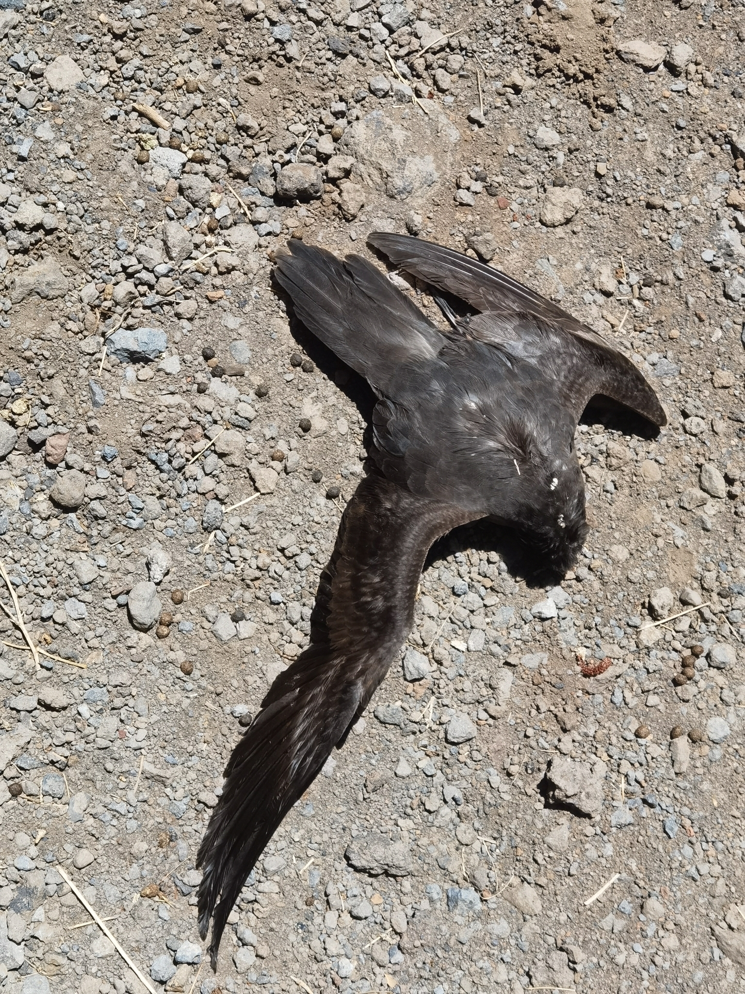
Petrel de Bulwer
Bulweria bulwerii Aves · 472 registros
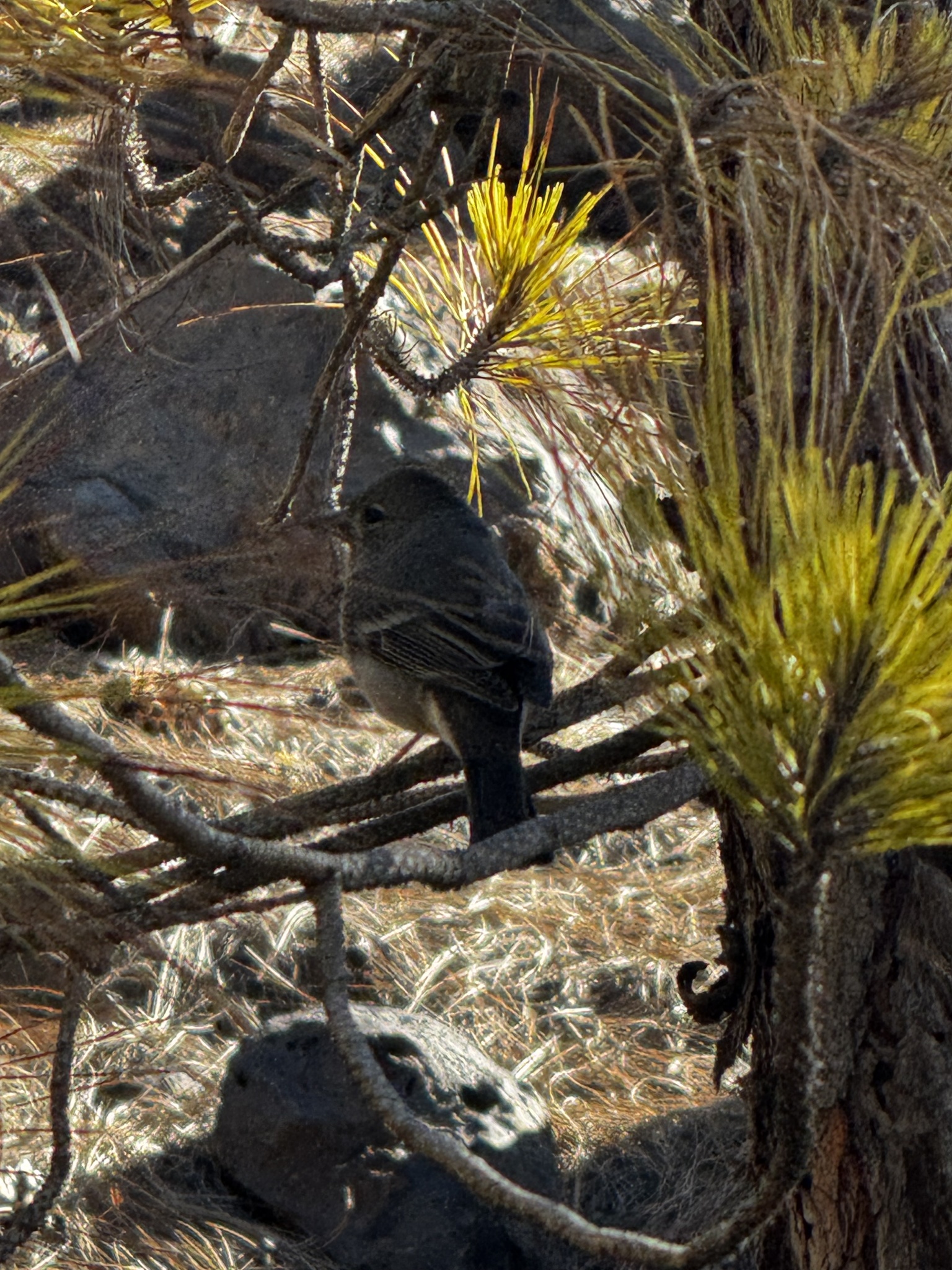
Pinzón del Teide
Fringilla teydea Aves · 157 registros
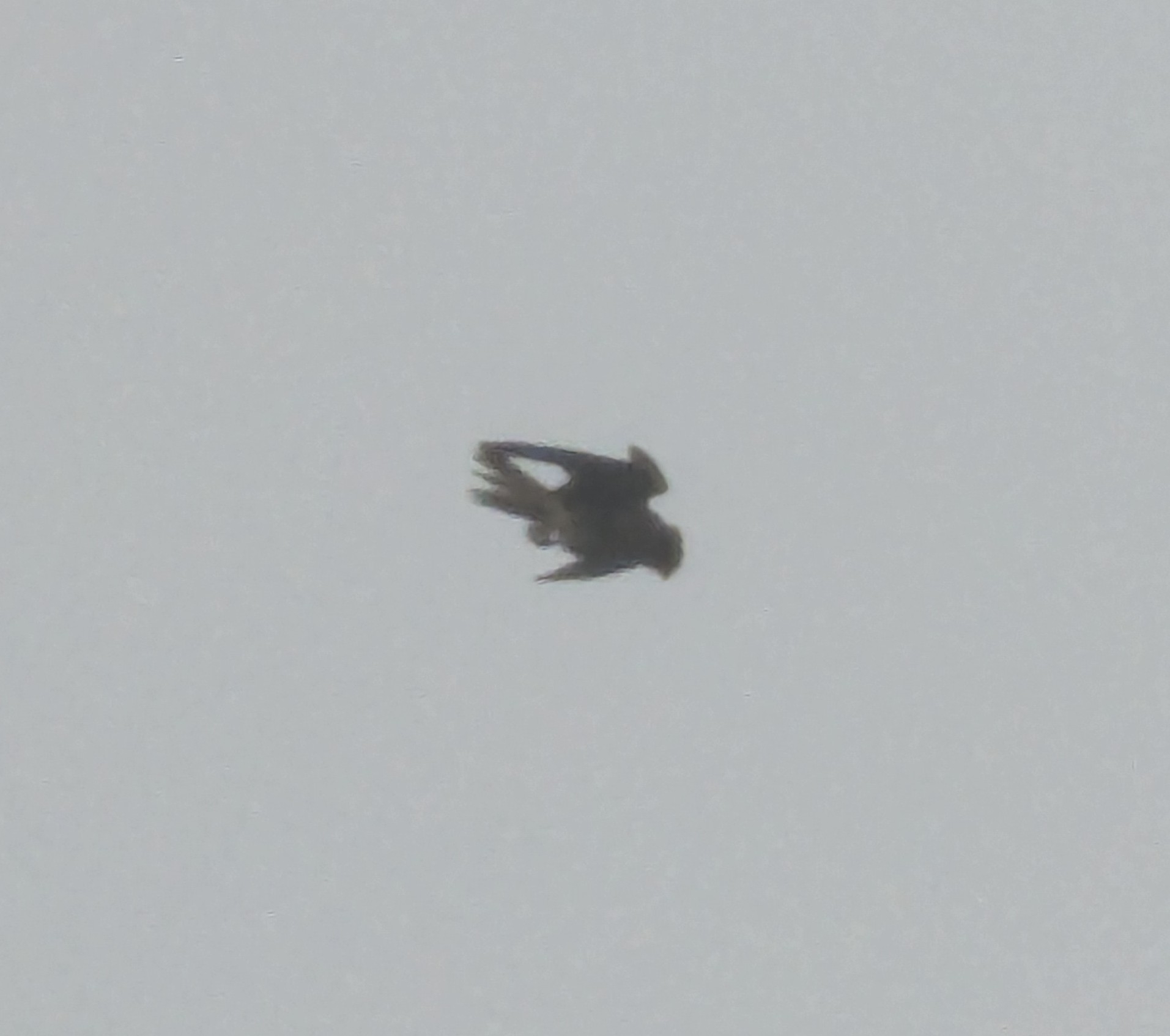
Cernícalo vulgar
Falco tinnunculus Aves · 115 registros
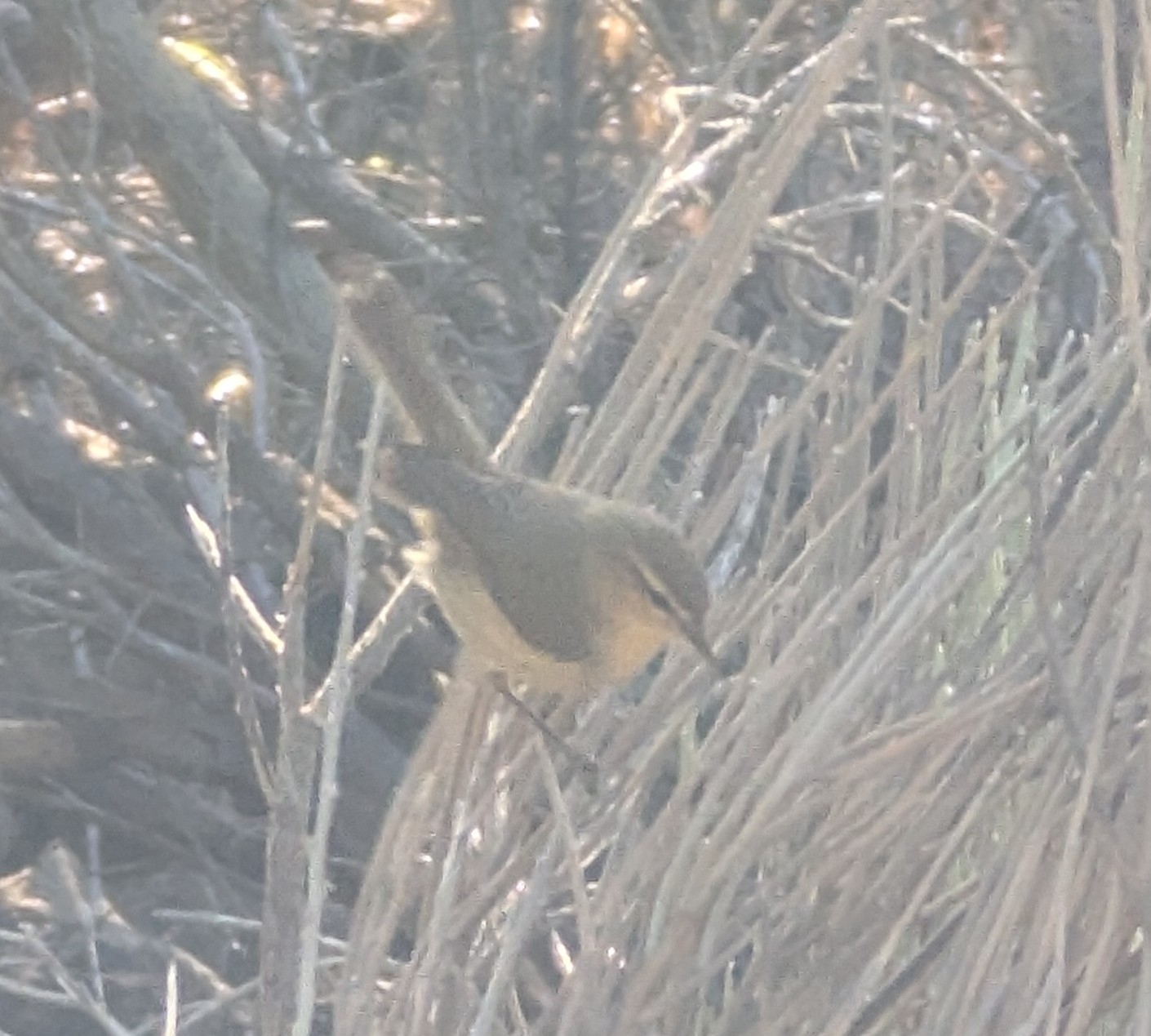
Mosquitero canario
Phylloscopus canariensis Aves · 73 registros
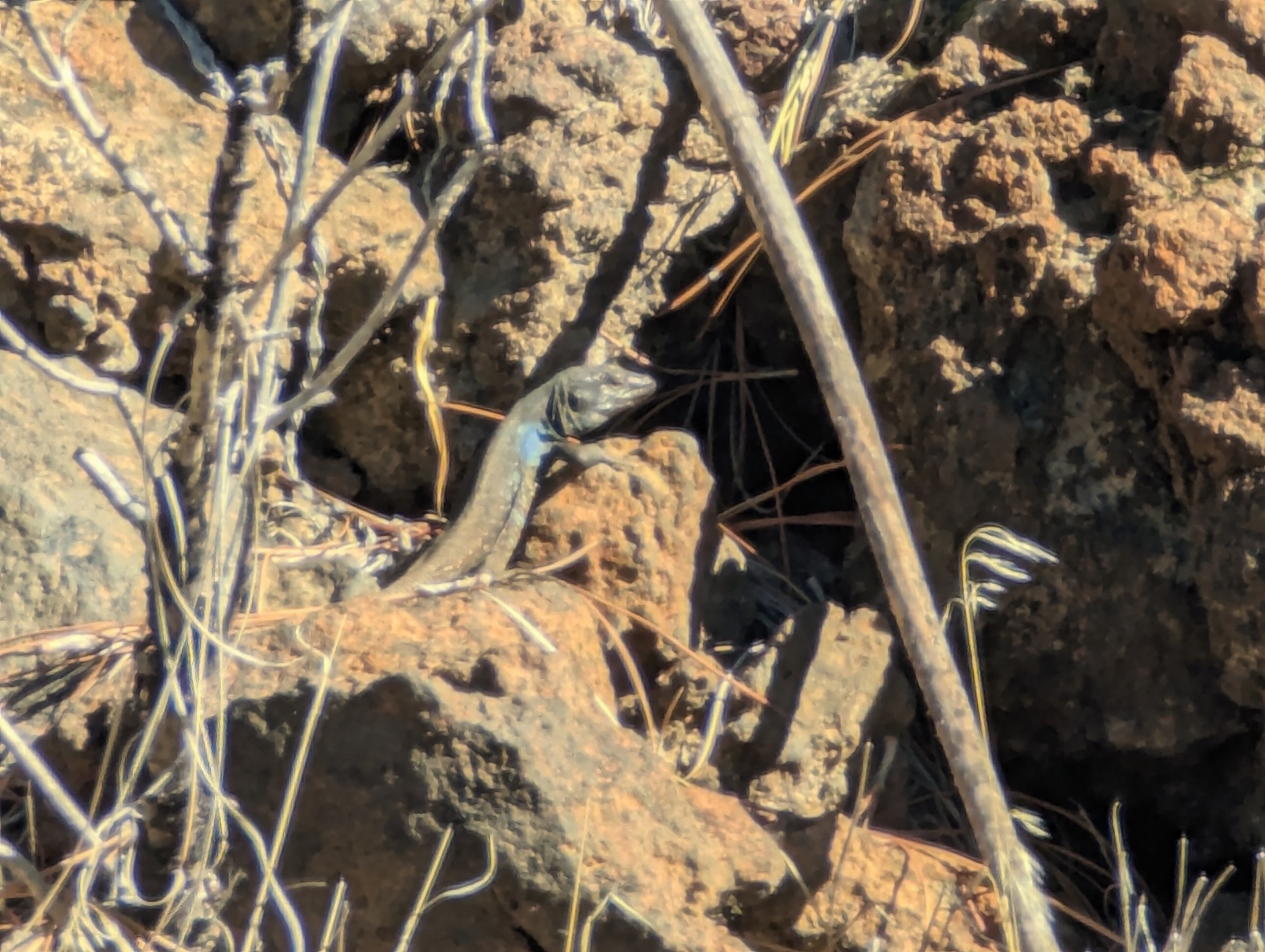
Lagarto Tizón
Gallotia galloti Reptiles · 62 registros
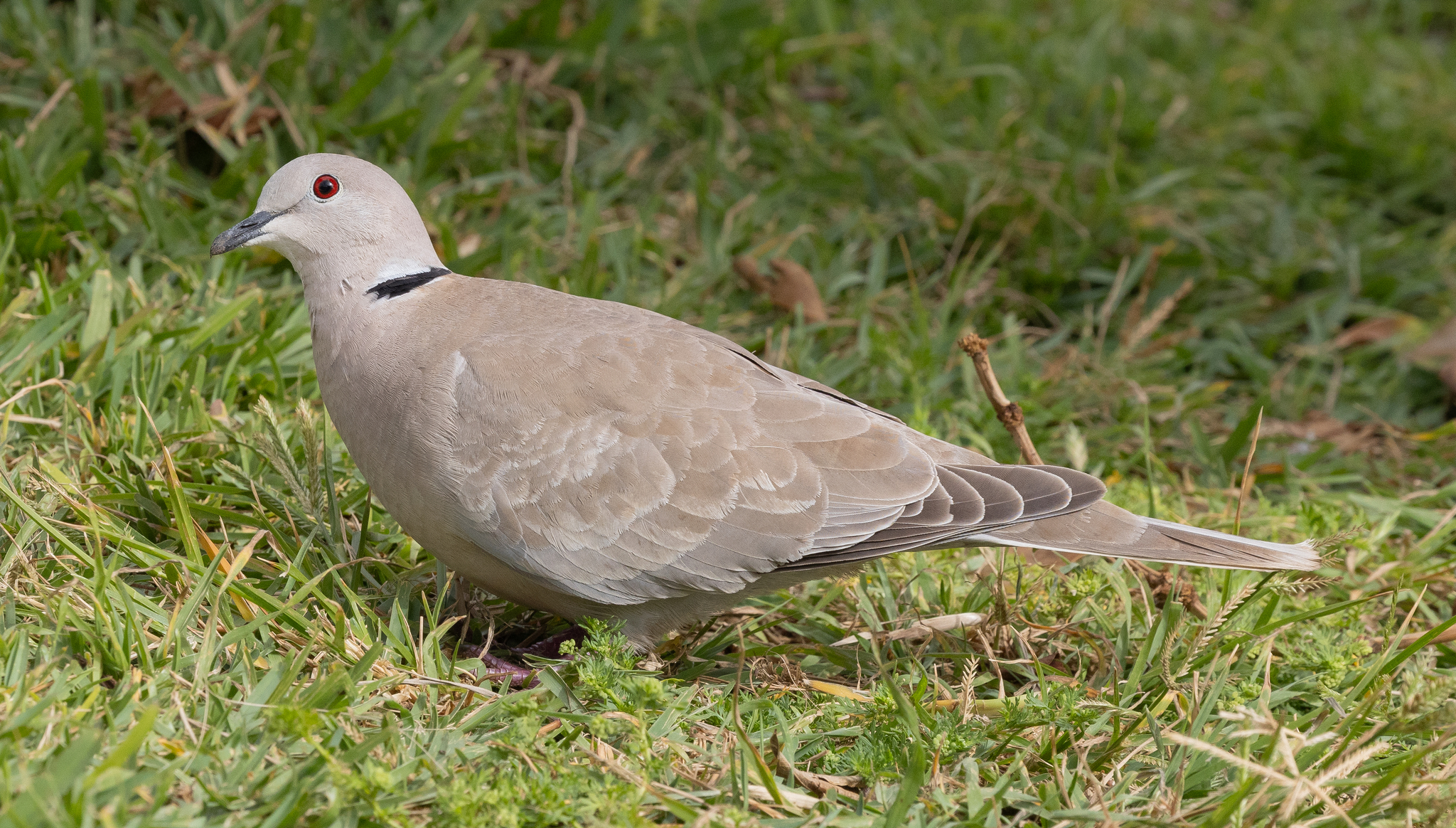
Tórtola turca
Streptopelia decaocto Aves · 59 registros
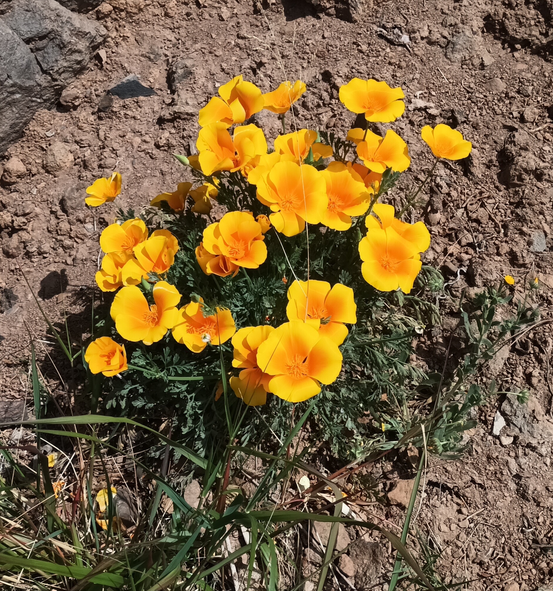
Amapola de California
Eschscholzia californica Plantas · 59 registros
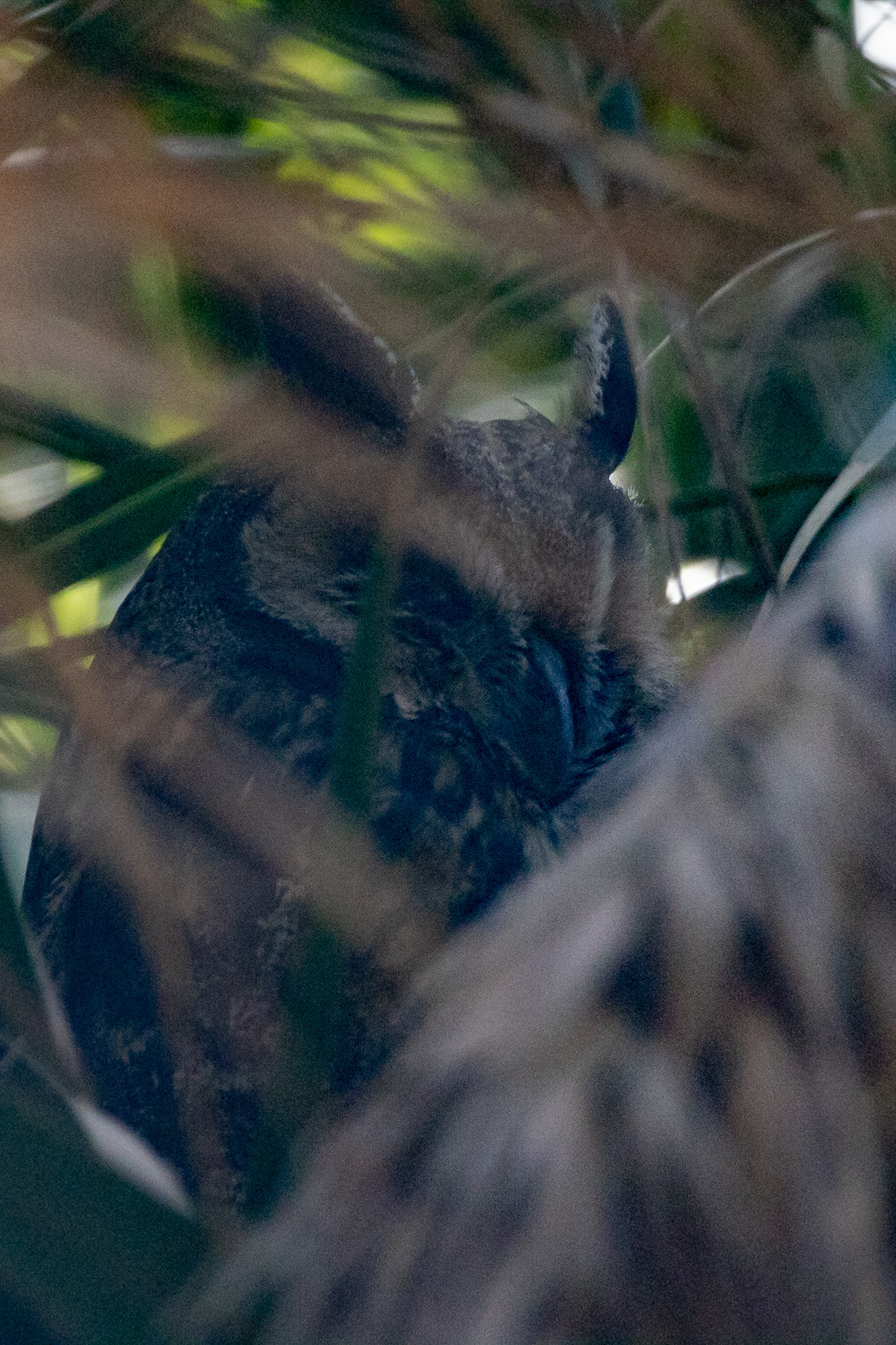
Búho chico
Asio otus Aves · 47 registros
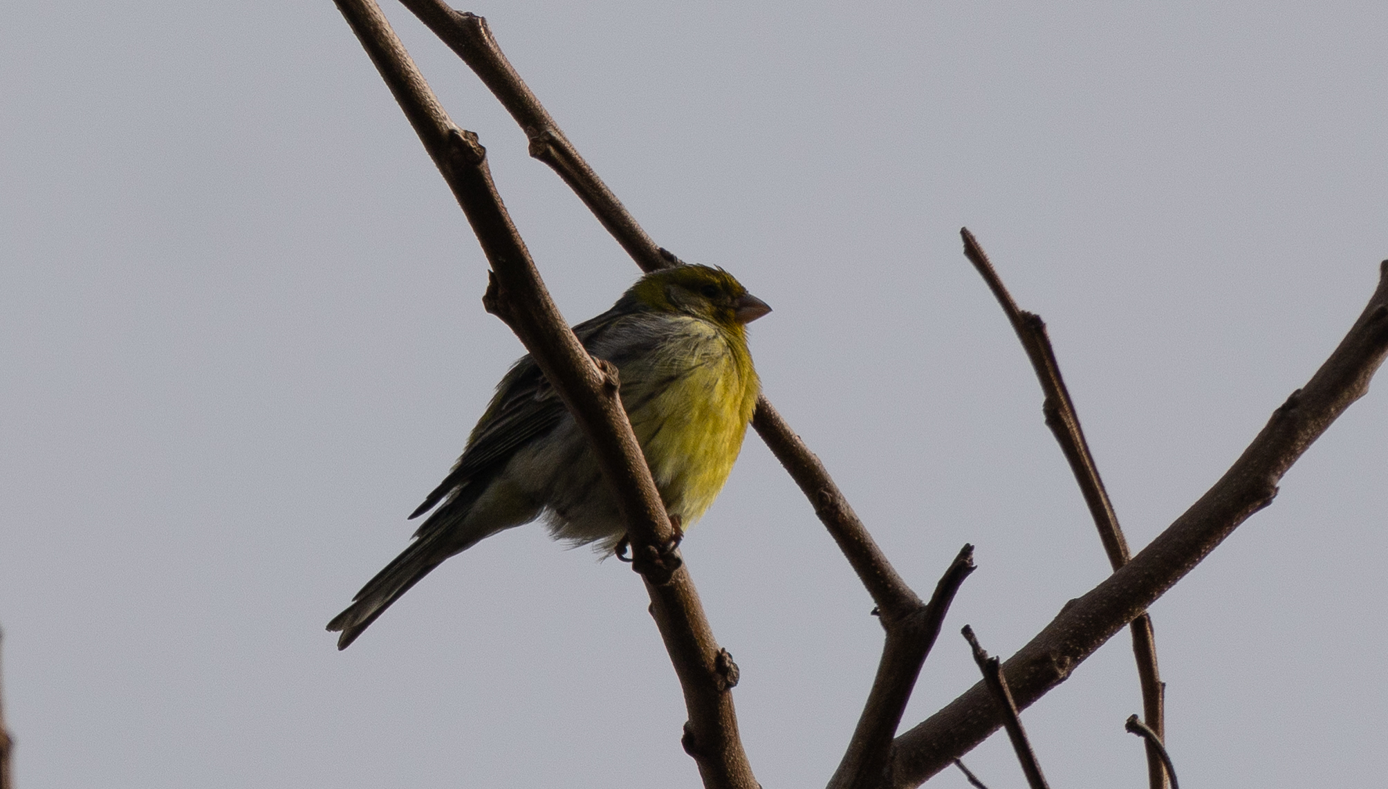
Serín canario
Serinus canaria Aves · 46 registros
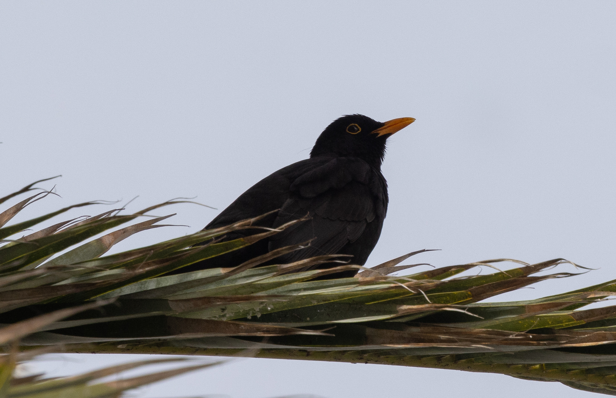
Mirlo común
Turdus merula Aves · 34 registros
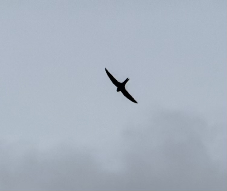
Vencejo unicolor
Apus unicolor Aves · 34 registros
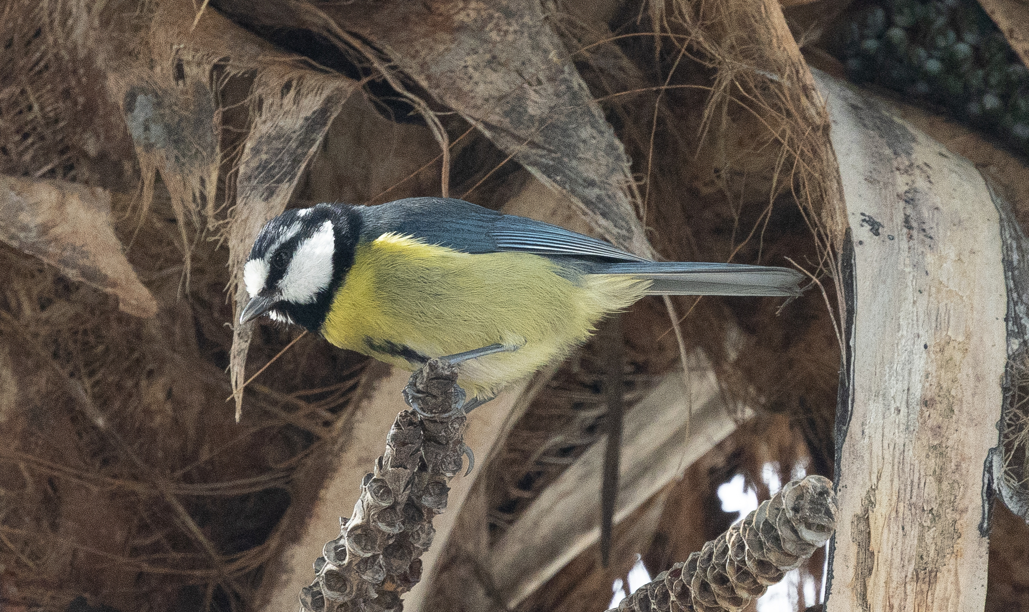
Herrerillo canario
Cyanistes teneriffae Aves · 34 registros

Imagen: Wikimedia Commons
| Longitud del trazado | 2,0 km |
| Red | Sendero local |
| Referencia | SL-TF 292 |
| Gestiona | http://www.candelaria.es/opencms/opencms/ayuntamiento_es/delegaciones/turismo/queHacer/pagina_3.html |
Datos: © colaboradores de OpenStreetMap (ODbL). Actualizado 12 oct.
Cerca de aquí
- Playa de la ViudaPlaya · 0,1 km
- Playa de SamarinesPlaya · 0,5 km
- Playa de ChimisayPlaya · 0,9 km
- Santuario de la Virgen de Candelaria y ConventoEspacio natural protegido · 1,0 km
- Llano de la VirgenEspacio natural protegido · 1,5 km
- Playa La HornillaPlaya · 1,7 km
- Playa de la EntradaPlaya · 1,9 km
- Playa de la HornillaPlaya · 2,0 km
Servicios cercanos
- Licenciada Marta Elena Cáceres BercedoFarmacia · 1,2 km
- Farmacia BarreraFarmacia · 1,5 km · Calle Periodista Ernesto Salcedo 3, Candelaria
- Punto de recargaPunto de recarga eléctrica · 1,5 km
- Centro de Salud Villa de CandelariaCentro de salud · 1,5 km
- Farmacia VidarteFarmacia · 1,7 km
- Farmacia PuntalargaFarmacia · 2,1 km